BATO-MOUCHE (2022-2025)
Big-City Analysis Taking OSM data to Model Urban Change


Keywords:
- Data Science and Complex Systems
- Urban Development
- Analysis of open data in spatial and temporal context
Abstract:
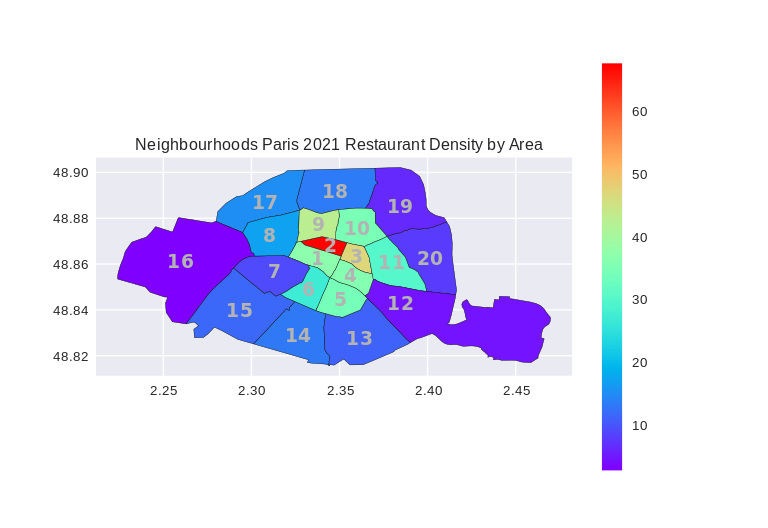
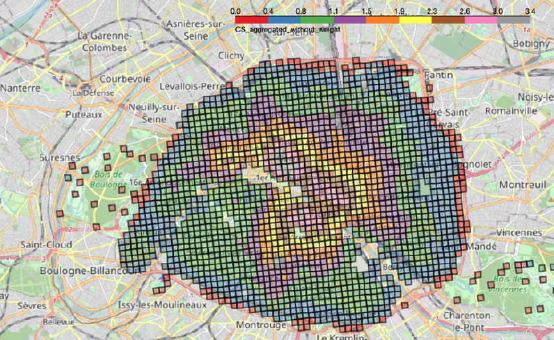
Restaurants play a tremendous role in cities as a place to meet but also as a way for people to express their culture. In this project, we analyze the development of city districts based on essential amenities e.g. supermarkets, schools or restaurants. The aim of this study is to model urban change and deepen the understanding of how city districts develop using information from open databases which are based on community efforts such as OpenStreetMap. OpenStreetMap (OSM, osm.org) is an open database showing maps in various forms and details such as car routing, public transport, hiking and bicycle maps. Similarly to Wikipedia, users can enter and edit data. This leads to very accurate and detailed maps as users will add house numbers, smaller paths, playgrounds but also place names such as schools, restaurants or sports facilities. We started our analysis by looking at restaurants, however, our aim is to include further facilities of public life such as shops, services or place and street names based on OSM. Furthermore, we aim to identify signals of gentrification when observing urban change. We used Paris as an example city (Thaury et al., 2024), however, we plan to automatize the analysis and include further cities such as Lyon, Marseille, and others.
